

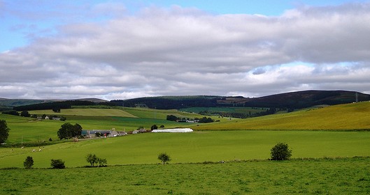
Location and characteristics

Tarland Burn is a tributary of the River Dee (NE Scotland). The Dee catchment has steep ecological and physical gradients running from the Cairngorm mountains (1300 m a.s.l.) to the North Sea at Aberdeen in about 70 km. Additionally, it grades from montane and moorland land use in the West to intensive agriculture in the East. Tarland Burn, situated centrally in the Dee, is the first tributary with intensive land use and first point of nutrient-impacted waters entering the oligotrophic main river. This is because it has a favourable south facing basin topography with some basic drift mineralogy. Rainfall is approximately 1000 mm with long periods of winter snow. The upper Tarland catchment (50 km2) includes the village of Tarland (population 600). Including the lower Tarland (total catchment area 100 km2) down to Aboyne (population several thousand) allows us to consider the additional problems of town flooding and larger effluent waste water generation.
The River Dee and tributaries are designated under Natura 2000 and have Special Areas of Conservation status, both for freshwater Pearl Mussels (Margatifera margatifera), Otter (Lutra lutra) and Salmon (Salmo Salar). Salmon fishing is of great economic importance in the area, as is recreation and tourism.
Category: Background, Tarland catchment management aims


