SEO CompanyInternet Marketing
Subscribe via RSS Feed

Young scientists: School data pages

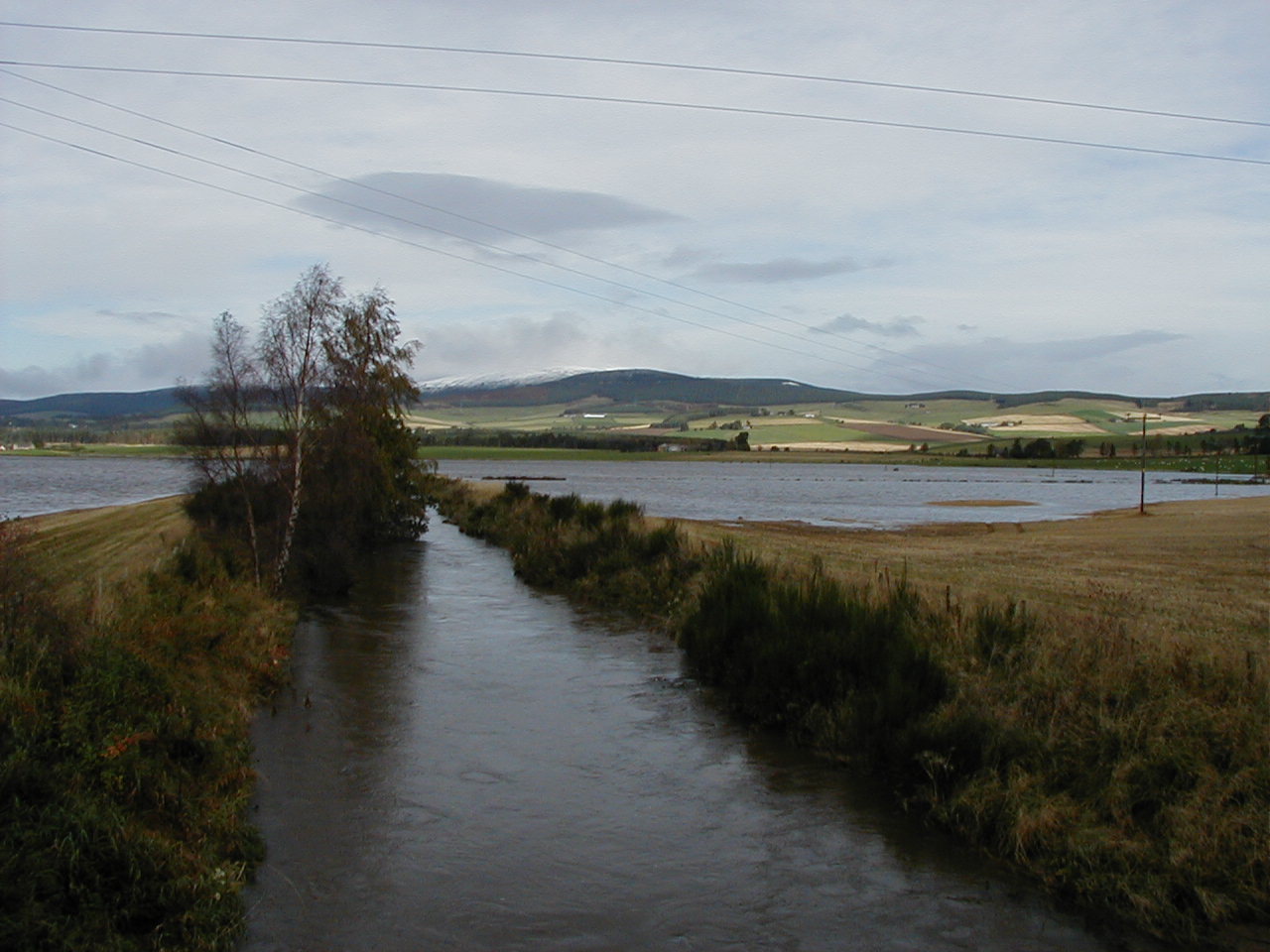
Kincardine O’Neil monitoring equipment buried under spring snow, 3rd April

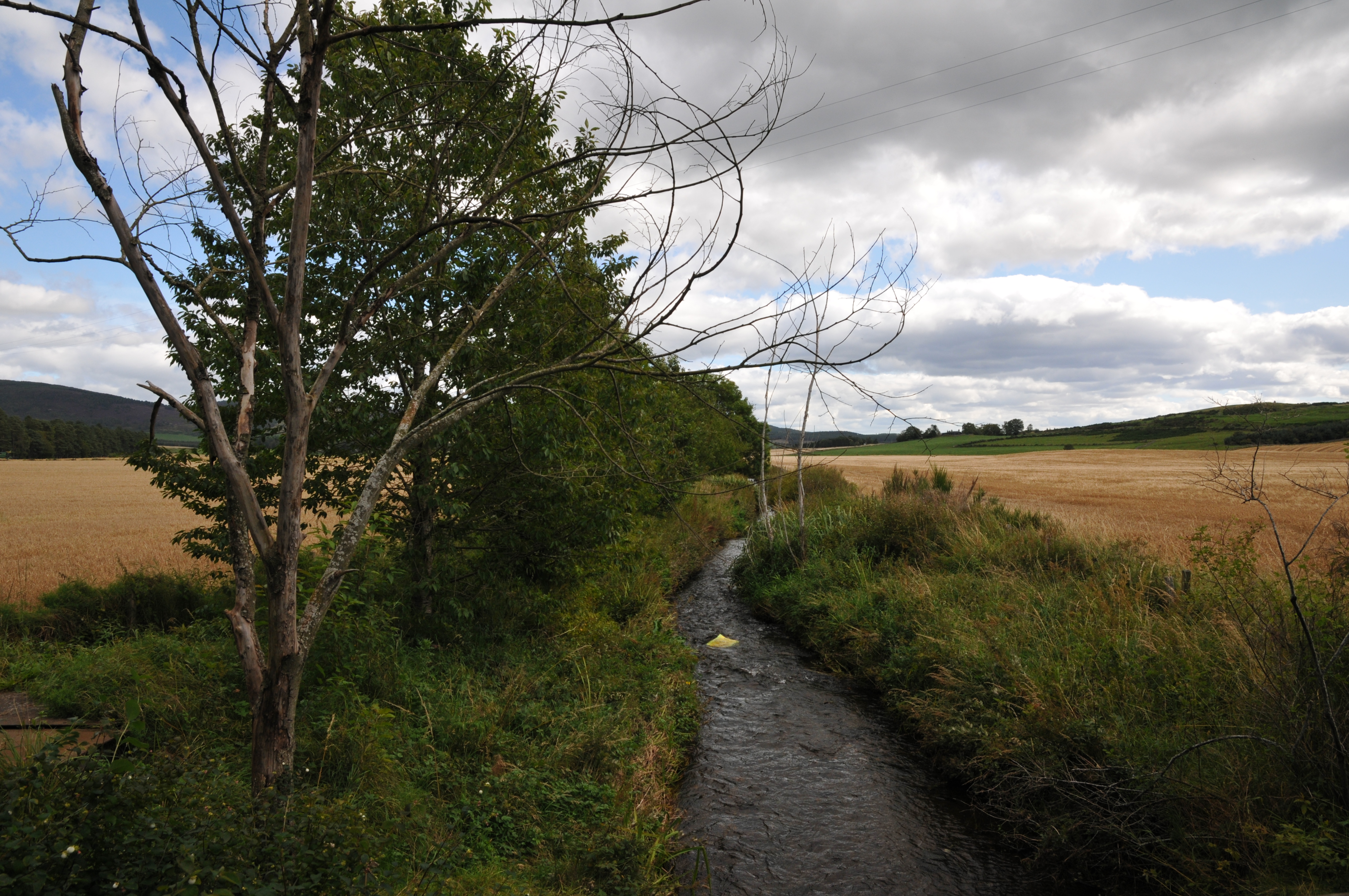
Pupils from Tarland Primary, Aboyne Primary and Kincardine O’ Neil primary schools are proving to be very enthusiastic and capable young scientists.  Pupils are recording weather data to support our research in the Tarland and whole Dee catchment.

All three schools are hosting a variety of monitoring equipment for air temperature, rainfall, wind speed and direction, solar radiation levels. Some of the equipment is automated and some of it manual. We are comparing data recorded manually by the children with that obtained from the automatic stations.

The monitoring equipment was installed in early December 2011 and thanks to the efforts of staff and pupils we have captured some very interesting data.

Temperature data

Spring air temperature data; Tarland catchment 2012

Deeside weather conditions made the national news in March and April 2012 as record high spring temperatures were recorded at the Met office weather station at Aboyne and only 3 days later significant snow fall brought power lines and tree limbs down. The official data verifies the work of our young helpers as their data and photographs illustrate the conditions very well.


Linking Communities with Environmental Data

Automated environmental data allows us to better understand and manage risks

Stream-bank Buffer Strips Provide Multiple Benefits

What are buffer strips and how can they help?

Image showing a drainage feature and buffer strip

Managing Rural Septic Tanks

What’s the issue?

Natural Flood Management

The Natural Flood Management Approach

Natural flood management can be described as:

“a suite of techniques that aim to work with natural, hydrological and morphological processes to manage the sources and pathways of flood waters. At the same time natural flood management can improve the quality of our natural and urban environments and provide many additional benefits for water quality, ecology, climate change, and recreation” (Scottish Environment Protection Agency, 2012).

A large range of NFM techniques exist. Evidence varies about the likely impact of each technique. For the majority of techniques the certainty with which the impact can be predicted is low and the impact is likely to vary with location conditions (soil, slope, land use intensity etc). Some examples are given below:

  • Conifer and broadleaf woodland planting: There is consensus that the effects of forestation diminish with both catchment size and event magnitude, but the location within catchment is significant;
  • Reducing grazing pressure on pasture: This technique aims to improve soil condition and water infiltration. Research shows that there may be a reduction of 13% or more in run off;
  • Creation / restoration of non-floodplain wetlands: It is often thought that wetlands act as a sponge, but this is not borne out by the evidence. Research provides conflicting messages about the effect of wetlands on reducing flooding. Each wetland is unique and effects can be both positive and negative;
  • Blocking Upland drains:  There is general agreement in the literature that upland drains can lower moisture conditions but could also improve connectivity to watercourses;
  • Floodplain reconnection: This can increase the travel time of water through the catchment and there is general consensus that it reduces flows, but there is disagreement on the magnitude of the impact;
  • Creation of constructed farm wetlands or ponds: These features increase storage in the catchment. Research shows they require careful design and may still have uncertain impacts depending on local conditions;
  • Improved management of lochs and reservoirs: The literature shows that changing the management of lochs and reservoirs can reduce flood flows.
  • Reach restoration: This can help in moving water past receptors, and the research shows that local effects can be significant, with a low degree of uncertainty.
  • Use of SUDS (sustainable urban drainage systems): Research shows that well designed and maintained systems are known to be effective with a low degree of uncertainty.

For more information contact: Wendy Kenyon

Flooding: Issues, Impacts, Drivers and Policy

The Issue

Flooding is a naturally occurring process which cannot be prevented.

Managing Catchments and Coasts at the James Hutton Institute

Image showing landscape around the catchmentThe James Hutton Institute’s Managing Catchments and Coasts Theme integrates expertise in soil, biogeochemical, hydrological, ecological sciences and socio-economics to manage the potentially conflicting demands for services across multiple spatial scales.

2011 saw the beginning of the Managing Catchments and Coasts research theme at the James Hutton Institute. This theme, building on the previous interdisciplinary work of the former Catchment Management Group, is developing a strong team of scientists working towards all sectors of integrated water resources management using the ethos of ‘thinking globally, acting locally’. The basis for this is our continuing active part in the management of the River Dee. The theme aims to support novel scientific research, both using and providing robust and extensive environmental datasets. From this we will develop data interpretation tools, modelling approaches and visualisation techniques that will aid understanding and cooperation across a range of community and water management sectors, shaping effective policy at local, national and EU levels.

Our research is driven by a need for effective solutions to manage the complex interplay of pressures centred on the quantity and quality of the fundamental resource of water. We seek to identify opportunities for multiple benefits for land, water and people that are cost-effective and resilient to the future changes in climate, land use and policy. This is achieved by scientists working in partnership with regulators, policy-makers, industry and communities to optimise the available solutions.

This really is an exciting time for the science and management of our fundamental, shared asset of waters. The momentum is building through 2012 by way of a series of flagship EU events, the World Water Forum, the Green Week focus on water, the ‘Blueprint’ for revised and coherent water policy and the EU Innovation Partnerships on Water and Sustainable Agriculture. At the highest level these recognise the importance of water for the environment, society and business and are set against the national profiling objectives of Scottish Government’s ‘Hydronation’ agenda.

iDee gives you the chance to be a river observer

An introduction to our work in the Tarland catchment

Map of Talking points | Previous Slide | Introduction | The Tarland burn, tributary of the Dee

An audio file (WAV format) of the above below is An introduction to our work in the Tarland catchment.

The Macaulay Land Use Research Institute, now The James Hutton Institute, has worked in the Tarland catchment since the late 1990s. Two things framed the Tarland Catchment initiative as it was initially called.

Firstly, in the late 1990s, funds were provided by the Natural Environment Research Council for a project titled ‘Large Scale Processes in Ecology and Hydrology’.

This focussed on factors affecting the water quality of the River Dee here in North-east Scotland, of which the Tarland burn is a tributary.

The first peer review results showed that the water quality and water quantity are very strongly linked, and that the western part of the Dee catchment produces a lot of high quality water which dilutes what comes in from downstream tributaries.

As you move down the catchment the first signal of nutrients coming into the Dee is from the Tarland Burn – you can see a spike in nitrates and sediments, and occasionally in phosphorus (which is harder to model because it is driven by unpredictable events).

So, if you take a whole systems approach, with the Dee as your system, then the uppermost sub-catchment where you might be able to do something to affect the Dee, the principle hotspot for land-managers and other stakeholders, is Tarland. So here we’re not talking about things like climate change or acidification which may be issues further upstream. So what are the issues? Well it’s all about river functioning, so we’re talking about water quality, we’re talking about flooding, how to alleviate flooding, we’re talking about good ecological status.

The idea is that once the Tarland is understood you can start to work your way down the Dee because a lot of the issues are in common, and indeed land use maps show that there’s increasing intensification of land management as you move eastwards towards Aberdeen.

UK Environmental Virtual Observatory pilot study