Linking Communities with Environmental Data
Automated environmental data allows us to better understand and manage risks

Automated environmental data allows us to better understand and manage risks
The Natural Flood Management Approach
Natural flood management can be described as:
“a suite of techniques that aim to work with natural, hydrological and morphological processes to manage the sources and pathways of flood waters. At the same time natural flood management can improve the quality of our natural and urban environments and provide many additional benefits for water quality, ecology, climate change, and recreation” (Scottish Environment Protection Agency, 2012).
A large range of NFM techniques exist. Evidence varies about the likely impact of each technique. For the majority of techniques the certainty with which the impact can be predicted is low and the impact is likely to vary with location conditions (soil, slope, land use intensity etc). Some examples are given below:
For more information contact: Wendy Kenyon
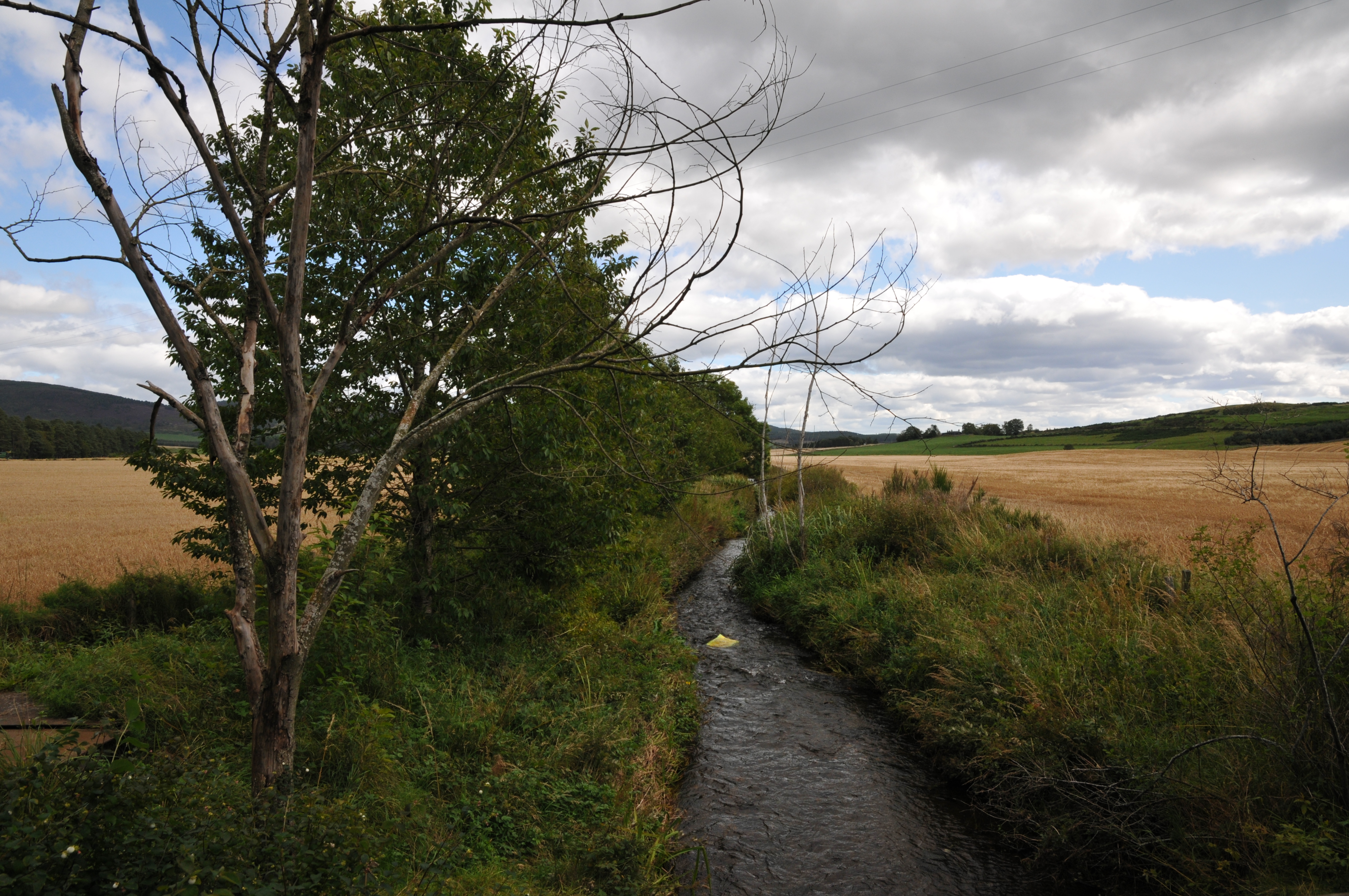
The Issue
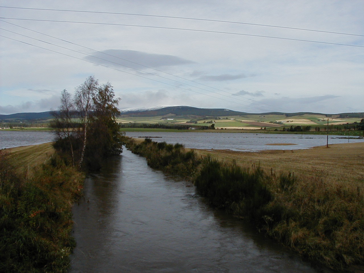 Flooding is a naturally occurring process which cannot be prevented.
The James Hutton Institute’s Managing Catchments and Coasts Theme integrates expertise in soil, biogeochemical, hydrological, ecological sciences and socio-economics to manage the potentially conflicting demands for services across multiple spatial scales.
2011 saw the beginning of the Managing Catchments and Coasts research theme at the James Hutton Institute. This theme, building on the previous interdisciplinary work of the former Catchment Management Group, is developing a strong team of scientists working towards all sectors of integrated water resources management using the ethos of ‘thinking globally, acting locally’. The basis for this is our continuing active part in the management of the River Dee. The theme aims to support novel scientific research, both using and providing robust and extensive environmental datasets. From this we will develop data interpretation tools, modelling approaches and visualisation techniques that will aid understanding and cooperation across a range of community and water management sectors, shaping effective policy at local, national and EU levels.
Our research is driven by a need for effective solutions to manage the complex interplay of pressures centred on the quantity and quality of the fundamental resource of water. We seek to identify opportunities for multiple benefits for land, water and people that are cost-effective and resilient to the future changes in climate, land use and policy. This is achieved by scientists working in partnership with regulators, policy-makers, industry and communities to optimise the available solutions.
This really is an exciting time for the science and management of our fundamental, shared asset of waters. The momentum is building through 2012 by way of a series of flagship EU events, the World Water Forum, the Green Week focus on water, the ‘Blueprint’ for revised and coherent water policy and the EU Innovation Partnerships on Water and Sustainable Agriculture. At the highest level these recognise the importance of water for the environment, society and business and are set against the national profiling objectives of Scottish Government’s ‘Hydronation’ agenda.
The course of the river taken from an early 1800's map of Tarland
Q. “Has the course of the river changed much over time?”
Road closure due to Tarland village flooding in 2002
Q. “How might I be better informed to make decisions about when to take action during flooding?”


 This site is hosted by The James Hutton Institute
Craigiebuckler Aberdeen AB15 8QH Scotland | Invergowrie Dundee DD2 5DA Scotland